Discover Cape Charles
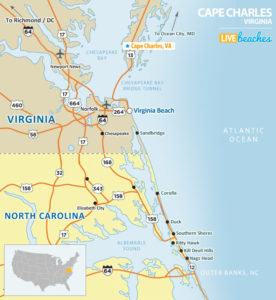
Cape Charles is located on the southern tip of Virginia’s Eastern Shore and the shores of the Chesapeake Bay. Historic inns make staying here a pleasure with several restaurants close by including coffee shops and retail shops. Cape Charles is a popular destination throughout the year, but it attracts most of its visitors during the summer season.
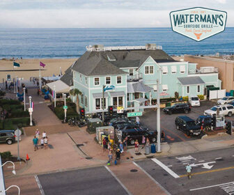
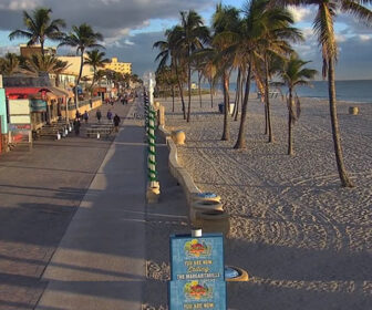
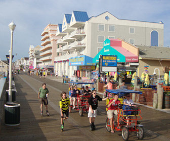
View live webcams in Cape Charles, check current weather conditions, and see what’s happening at the beach.
Cape Charles, Virginia Average Temperatures
Use this weather chart as a guide to view the average air and ocean temperatures in Cape Charles, VA.
The average air temperature in the summer varies between 85-90 degrees.
The average ocean temperature in the summer varies between 70-75 degrees.
| Average High | Average Low | Average Ocean Temp | |
|---|---|---|---|
| January | 50 | 32 | 42 |
| February | 53 | 33 | 44 |
| March | 59 | 39 | 47 |
| April | 68 | 48 | 55 |
| May | 75 | 56 | 60 |
| June | 84 | 66 | 71 |
| July | 88 | 71 | 76 |
| August | 86 | 69 | 79 |
| September | 80 | 63 | 72 |
| October | 70 | 53 | 62 |
| November | 63 | 43 | 53 |
| December | 54 | 35 | 49 |
Average high, low and ocean temperatures in Cape Charles. Sources: Accuweather, Weather.com, NOAA Climate.gov.


